Coast of Loiba

This sector, where the famous bench is located, is characterised by a large number of very attractive coastal forms, such as the rocky arches of Pena Furada and O Coitelo, or the tombolos on the beaches of A Ribeira, O Carro and A Fábrega. On the latter beach, we can find the remains of an … Read more

Categorías WTS

Xubia river valley

The river Xubia, which created the Ferrol estuary, has a fairly open river valley in its final section. This is largely due to the presence of a remarkable geological structure, the As Pontes-Pedroso fault, which facilitated the erosion of all the rocks through which the river flows. This hypothesis can be confirmed when the river … Read more

Categorías WTS

Ortigueira estuary

The Ria of Ortigueira is one of the two estuaries in the territory of the Cape Ortegal Geopark Project. It is also the first of the Cantabrian Sea, although during low tide it has a strong fluvial influence. In fact, this is when you can best see the intertidal channels, sand bars, tidal flats or … Read more

Categorías WTS

Valdoviño coastline

In the far west of the Cape Ortegal Geopark Project we find Campelo beach, a good place to see the As Pontes-Pedroso fault, which was active until less than 20 million years ago. Monte Campelo, a beautiful natural vantage point formed by granite rocks, is right next to the beach. From there which you can … Read more

Categorías WTS

Cedeira estuary

The Ria of Cedeira is one of the two estuaries in the territory of the Cape Ortegal Geopark Project. Despite its small size, it has two entrances separated by the Robaleira Point, which shelters the port of Cedeira to the north and is clearly dominated by the sea, and, further south, the Vilarrube inlet, which … Read more

Categorías WTS

Copper mines

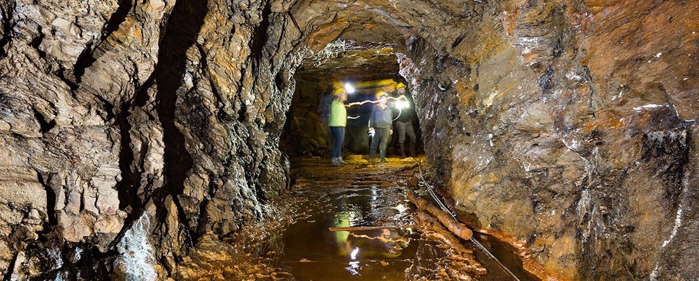
The presence of copper in the mountains of Moeche and Cerdido has been known since the end of the 19th century, a mining activity that did not go unnoticed by the local economy until the middle of the 20th century, when the mines were closed down. Today, different manifestations of the intense mining activity are … Read more

Categorías WTS

Mera river-Fraga dos Casás

In the surroundings of the area known as Fraga dos Casás there are several outcrops of black and greenish rocks, especially in the mountains known as Coto da Pena, Coto do Covelo, A Casanova and O Ermo. All of them are taken as the remains of an ancient ocean – the Rheic Ocean – which … Read more

Categorías WTS

O Forgoselo mountains

At the southern end of the geopark project we find this mountain, which contains granitic rocks that are very common in Galicia although scarce in this territory. The most characteristic feature is the landscape full of bolos – large rocks of more or less spherical shape – which are undoubtedly its hallmark. During the erosion … Read more

Categorías WTS

Toelo Quarries

Toelo, Moeche stone or serpentine are the different names given by the local population to a greenish grey rock that can be found in the surroundings of Moeche, San Sadurniño and Cerdido. Originally, these rocks were in the Earth’s mantle, located below 70 km deep. To learn a little more about this unique rock, visit … Read more

Categorías WTS

Cliffs of A Capelada mountains

This is the most studied and also the best known area of the geopark project territory, by scientists and tourists alike. In this coastal sector we find the highest cliffs in mainland Europe, 615 metres above sea level in Vixía de Herbeira. The cliffs of O Limo, less elevated but more vertical, also standout. The … Read more

Categorías WTS